
Local Hong Kong Tours
Quick Enquiry
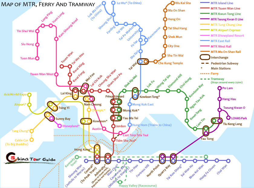
Hong Kong Maps
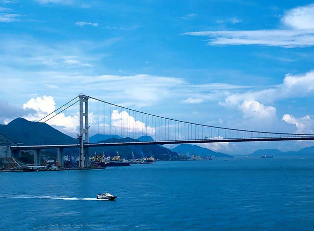
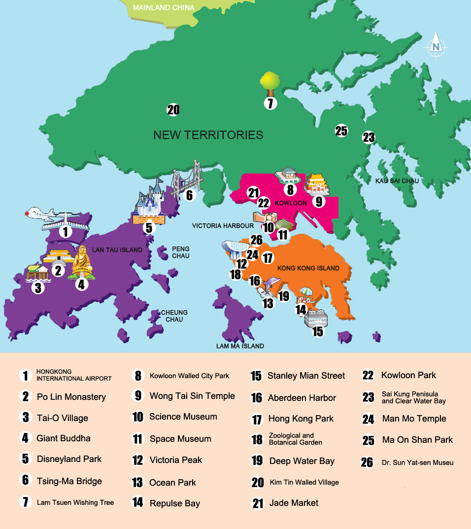
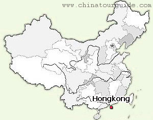 Hong Kong is located on China's south coast, 60 km (37 mi) east of Macau on the opposite side of the Pearl River Delta. It is surrounded by the South China Sea on the east, south, and west, and borders the Guangdong city of Shenzhen to the north over the Shenzhen River. The territory's 1,104 sq km (426 sq mi) area consists of Hong Kong Island, the Kowloon Peninsula, the New Territories, and over 200 offshore islands, of which the largest is Lantau Island. Of the total area, 1,054 sq km (407 sq mi) is land and 50 sq km (19 sq mi) is inland water. Hong Kong claims territorial waters to a distance of 3 nautical miles (5.6 km). Its land area makes Hong Kong the 179th largest inhabited territory in the world.
 |
 |
Recommended China Tours with Hong Kong
|
||||||
|
||||||
|
||||||
|
||||||

Guide for China tour, offers most value & amazing experience. In China, you can rely on us
Copyright © 2001 - 2026. All Rights Reserved to ChinaTourGuide.Com
Hotel Guangzhou | Guizhou Tours | Hong Kong Hotels | 香港酒店 | 广州酒店 | 广州会议酒店 | Indochina Tour
Guide for China tours, offers most value & amazing experience. Chinatourguide.com. Your reliable China tour agency.